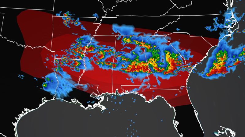
About 70 million people across the South and parts of the Northeast face the threat of severe weather Wednesday, including the potential for damaging winds, very large hail and isolated tornadoes, a few of which could be strong.
A second wave of severe weather during the afternoon will produce the potential for the most dangerous weather.
The area facing the biggest threat stretches from northeast Louisiana to north Florida, according to the Storm Prediction Center.
This level 4 out of 5 “Moderate Risk” of severe weather includes Jackson, Mississippi; Montgomery, Alabama; and Columbus, Georgia.
“A busy 24 hours is ahead of us as an anomalous pattern for June continues to take shape, the National Weather Service office in Jackson warned. “Local residents are strongly urged to be weather aware particularly this afternoon into tonight due to the strong likelihood of significant severe weather.”
Tennis ball-sized hail, damaging winds up to 80 mph and isolated tornadoes are possible, the weather service said.
“Multiple waves of storms are possible, and unfortunately, they may persist well into the overnight tonight,” the Jackson office said Wednesday morning.
A level 3 out of 5 “Enhanced Risk” of severe weather extends from the Ark-La-Tex region to the Georgia coast.
This includes Shreveport, Louisiana; Mobile and Tuscaloosa in Alabama and Savannah, Georgia.